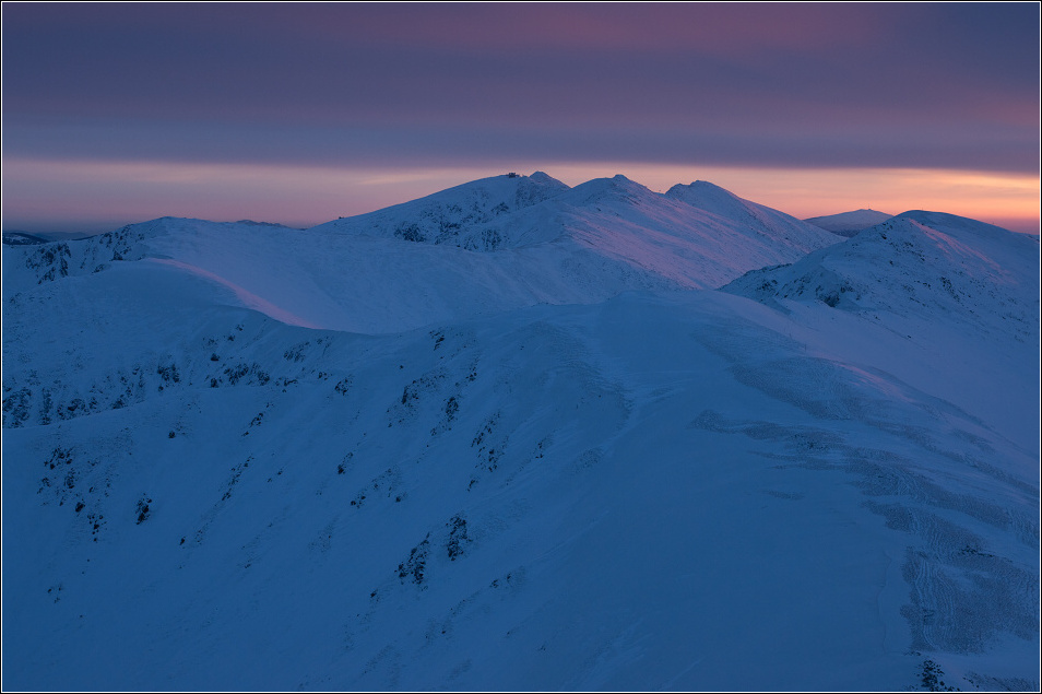
Low Tatras
... sunrising at this moment ... in the middle you can see Chopok, Derese, Dumbier /from the left/, and far away Kralova Hola peak.
GPS coordinates
Latitude:
48° 56' 26.31” N
Longitude:
19° 29' 45.41” E
Altitude:
1932.39m
Javascript must be enabled in order to use Google Maps.